
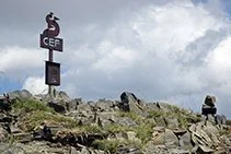
1. The massif of comanegra
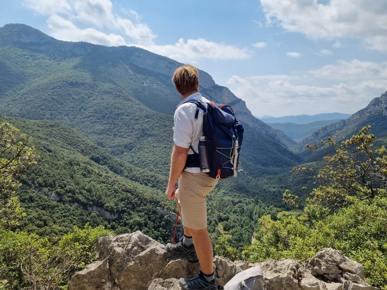
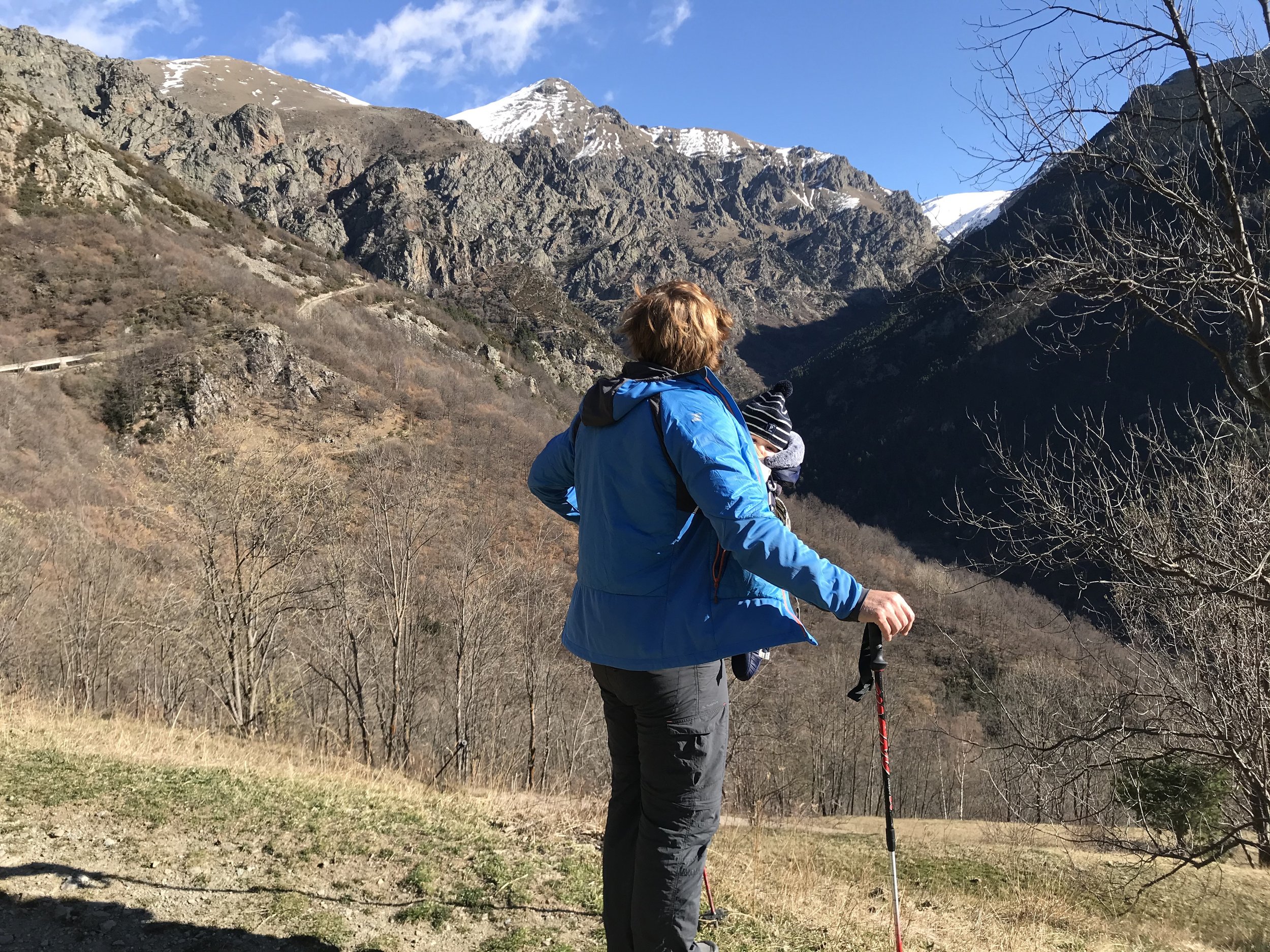
Situated in between the medieval town of Beget and the Sant Aniol Valley, Comanegra is one of the highest peaks in the Alta Garrotxa area. The most simplest option is to drive to the town of Beget if driving from Barcelona or Girona.
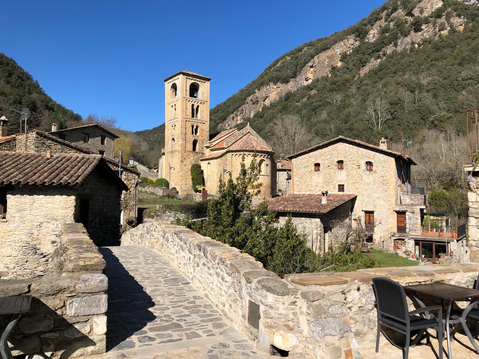
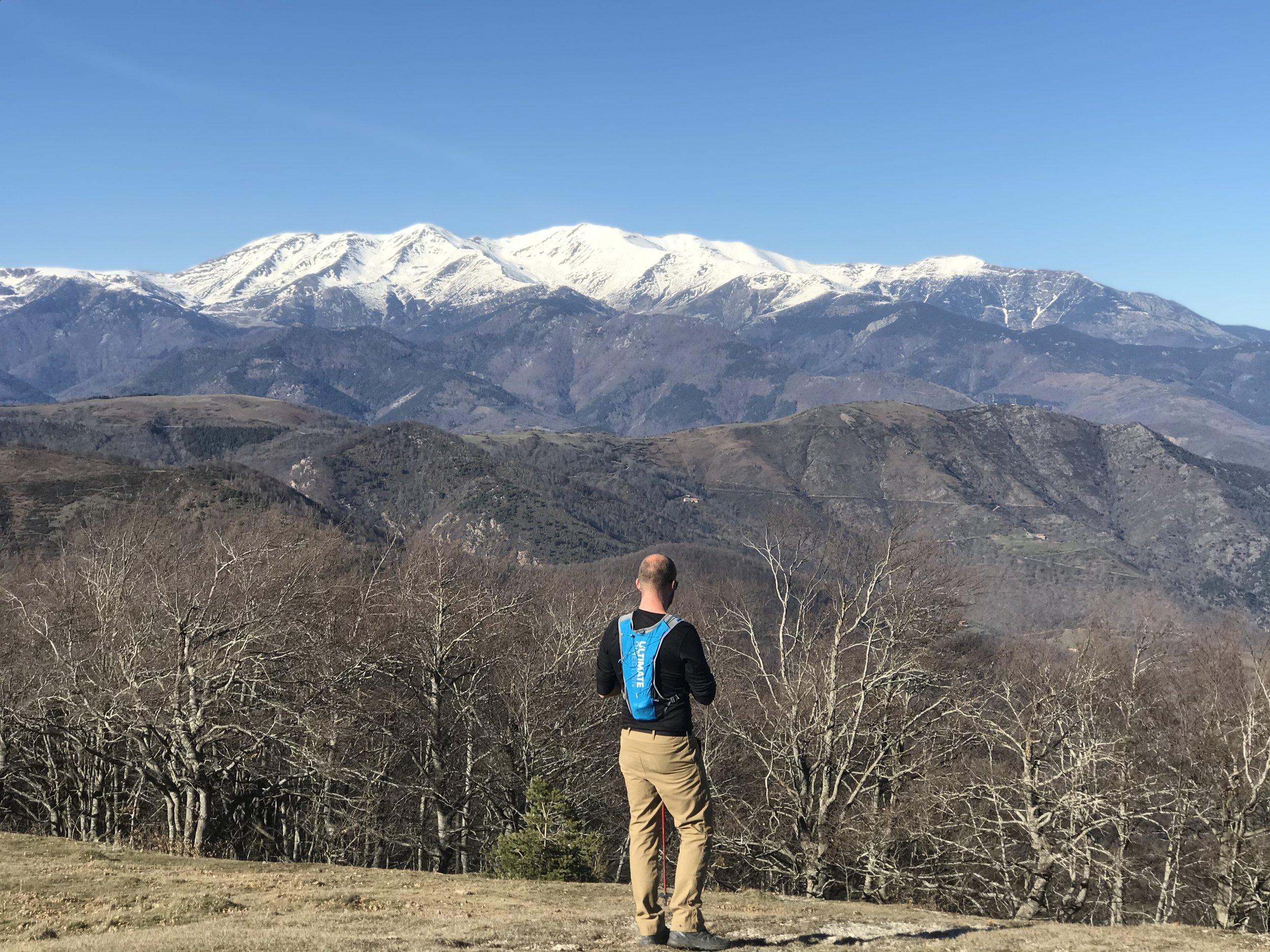
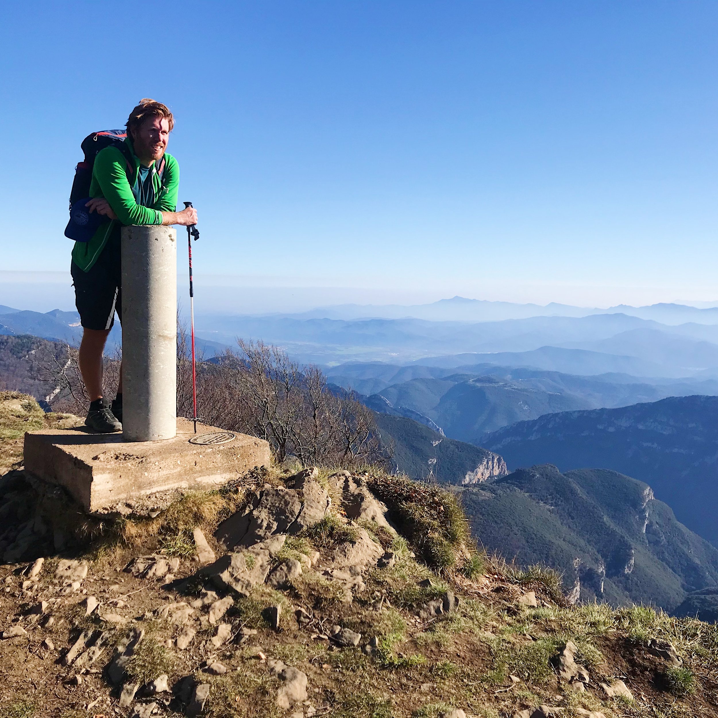
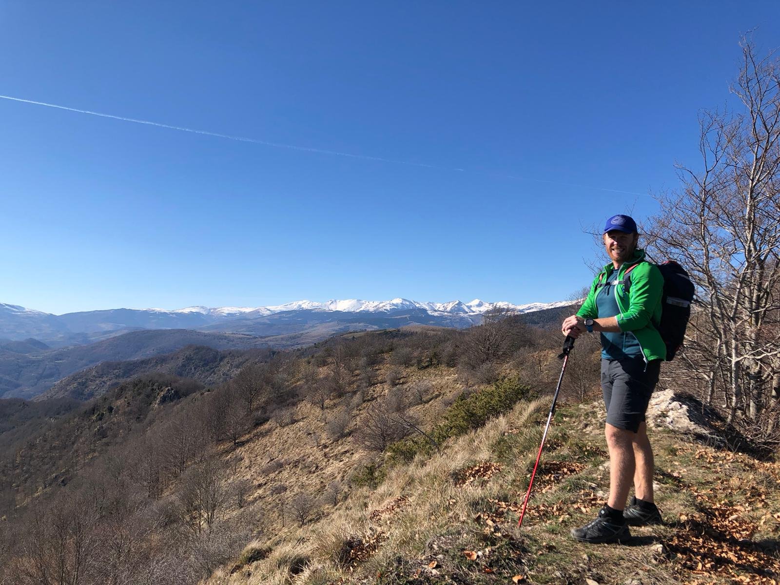
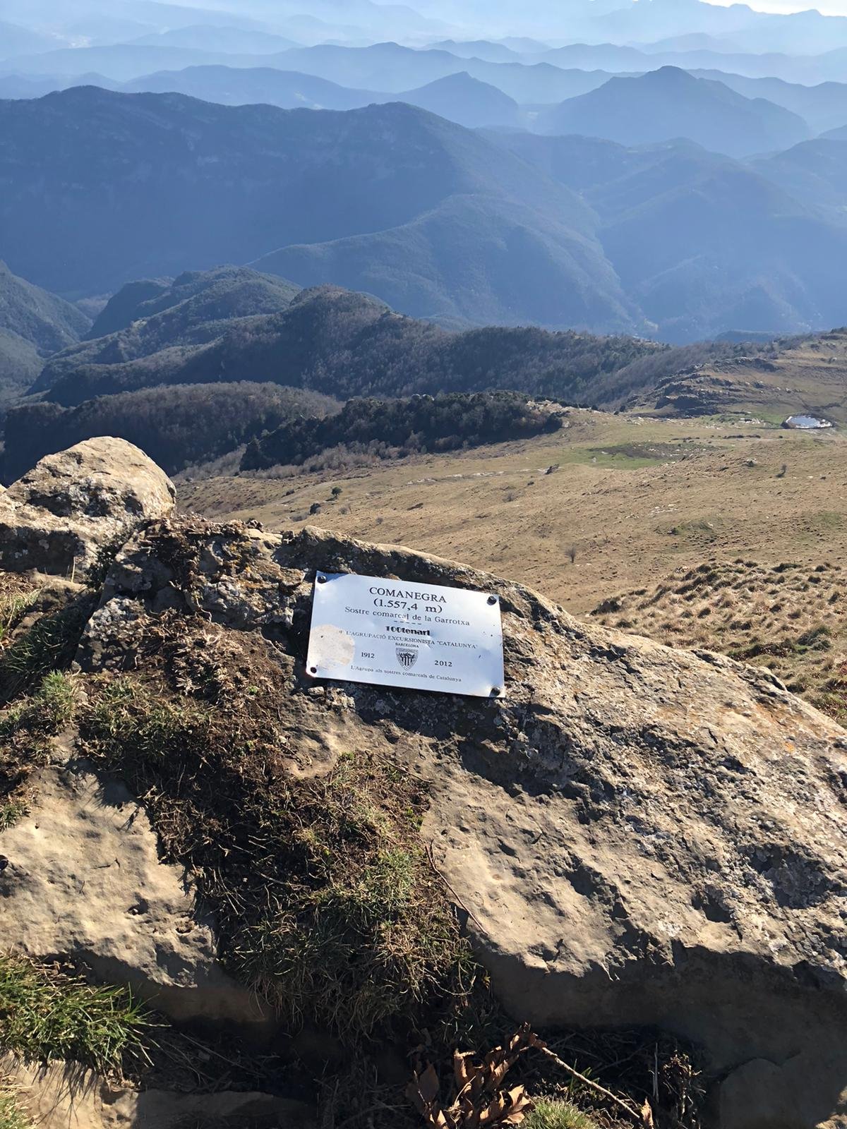
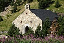
The route starts in an authentic little village called Beget (540m), which is very isolated and is the best conserved village you’ll see in the Pyrenees. In the town there is an incredible Romanesque church devoted to Saint Cristobal. To find the start of the hike it is best to follow the trail alongside the river until you come out at the road from Oix. You’ll start the climb a little further when you reach the forest, which eventually leads to the guesthouse called El Sunyer. You’ll continue a few more kilometres along the base of Comanegra. Crossing the Collet del Sunyer (670m) and then a little lower you’ll cross the stream of Bellestil. You start the climb again on the same trail where you will see the entrance to Mas del Bac de Bellestil on the left, until you reach the Collet de la Figuera. Looking to the left of Collet de la Figuera, you will see yellow markers which is signposted to Comanegra, until the ruins of Mas de la Figuera. Walking through an Oak wood the trail begins to steepen and you hike within some amazing crags of rock of the Puig del Morro. Then reaching Coll de Tenners where you hike along an aesthetic spur to Coll Ferriol de Baix, then the well known Puig Ferriol (1315m). From here the ground will open up into meadows and the reservoir of Monars and you’ll be sitting at the foot of Puig de Comanegra (1557m). From these meadows you continue climbing, following the green and orange markers on the southern side, before the final section on the northern or French Side.
You’ll then have reached the highest peak in the county of La Garrotxa. To return you will then retrace your steps back to Beget admiring the views into France on the northern side and the famous Canigo 2785m, that sits in the French side of Catalonia.
2. The valley of sant aniol
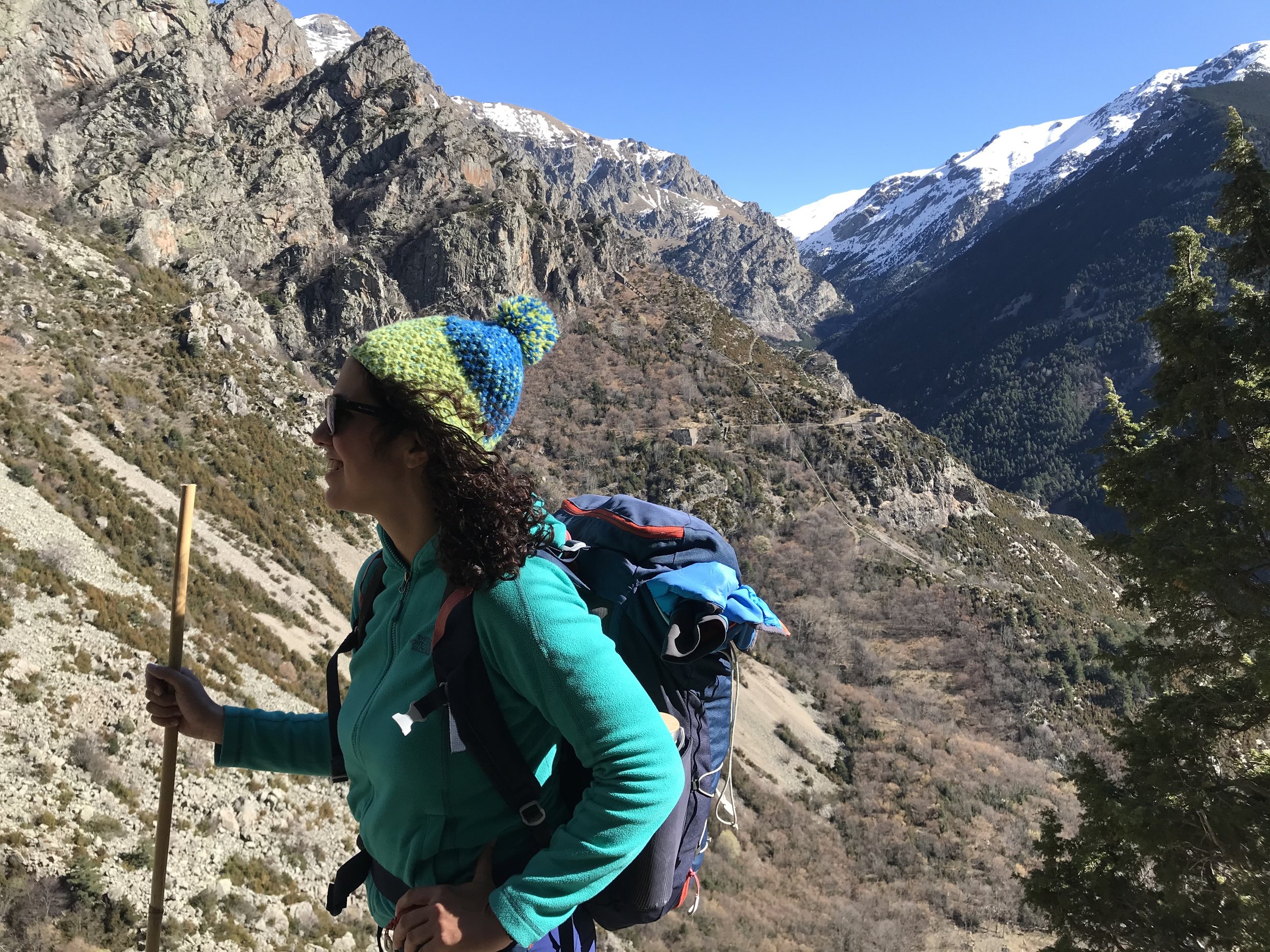
Located in the heart of Alta Garrotxa it’s one of the most popular areas to visit around the Girona Pyrenees, especially throughout the summer when an influx of visitors come to enjoy the stunning waterfall of Gorge Blau and Salt del Brull. In the summer months they have recently also restricted the parking at Sadernes to try and preserve the area from visitors so please check at https://en.turismegarrotxa.com/ and see if you need to book for parking.
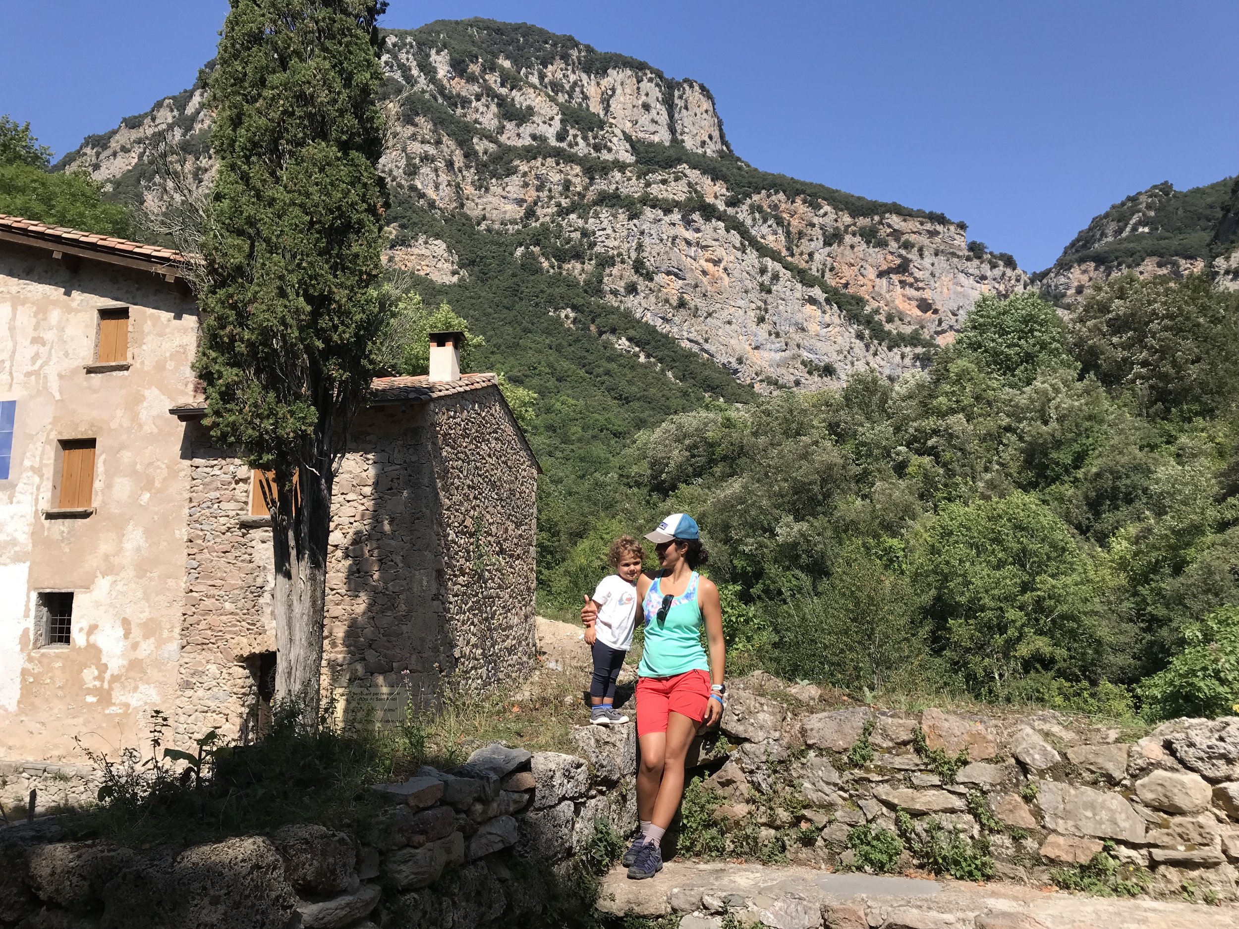
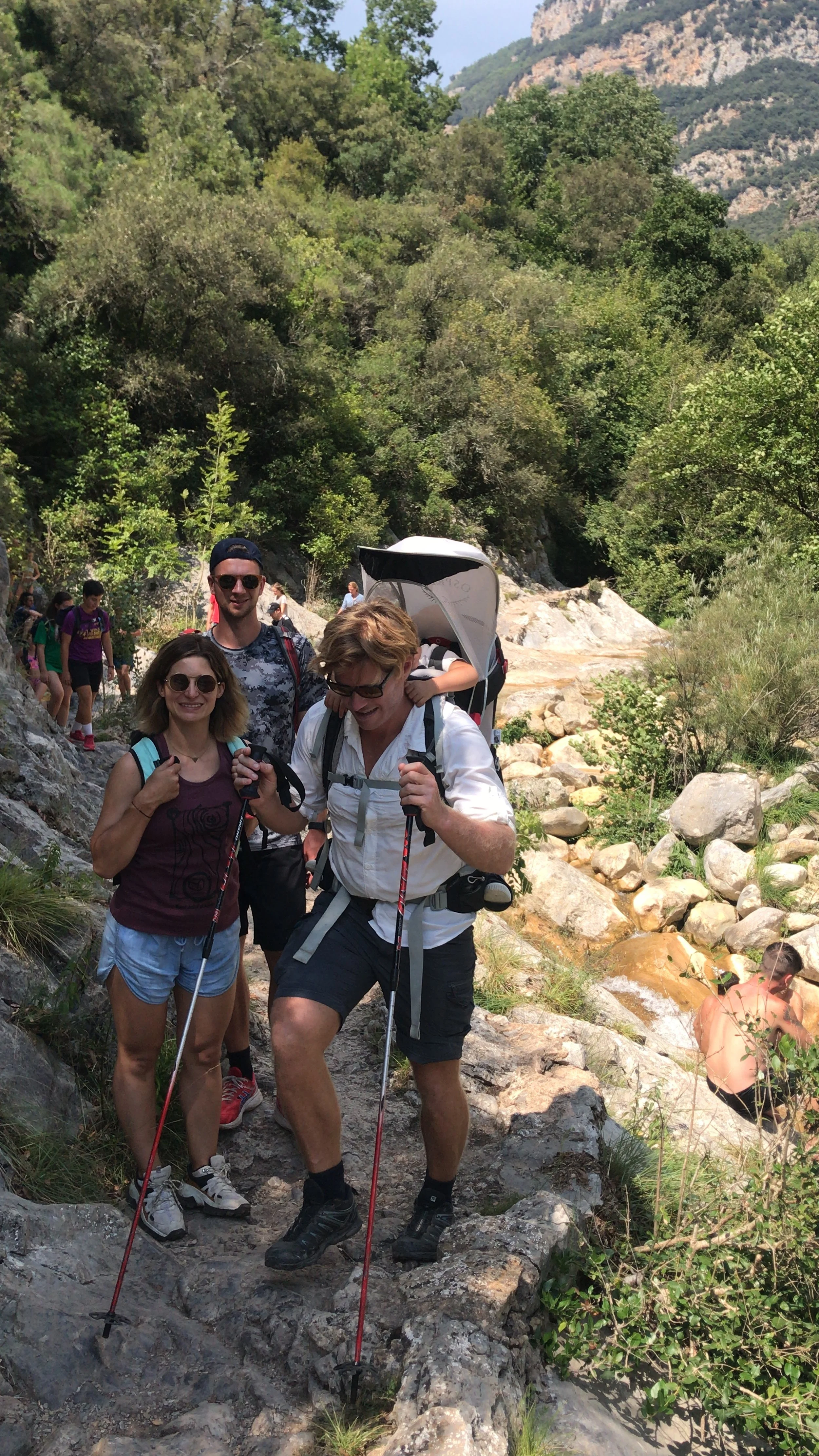
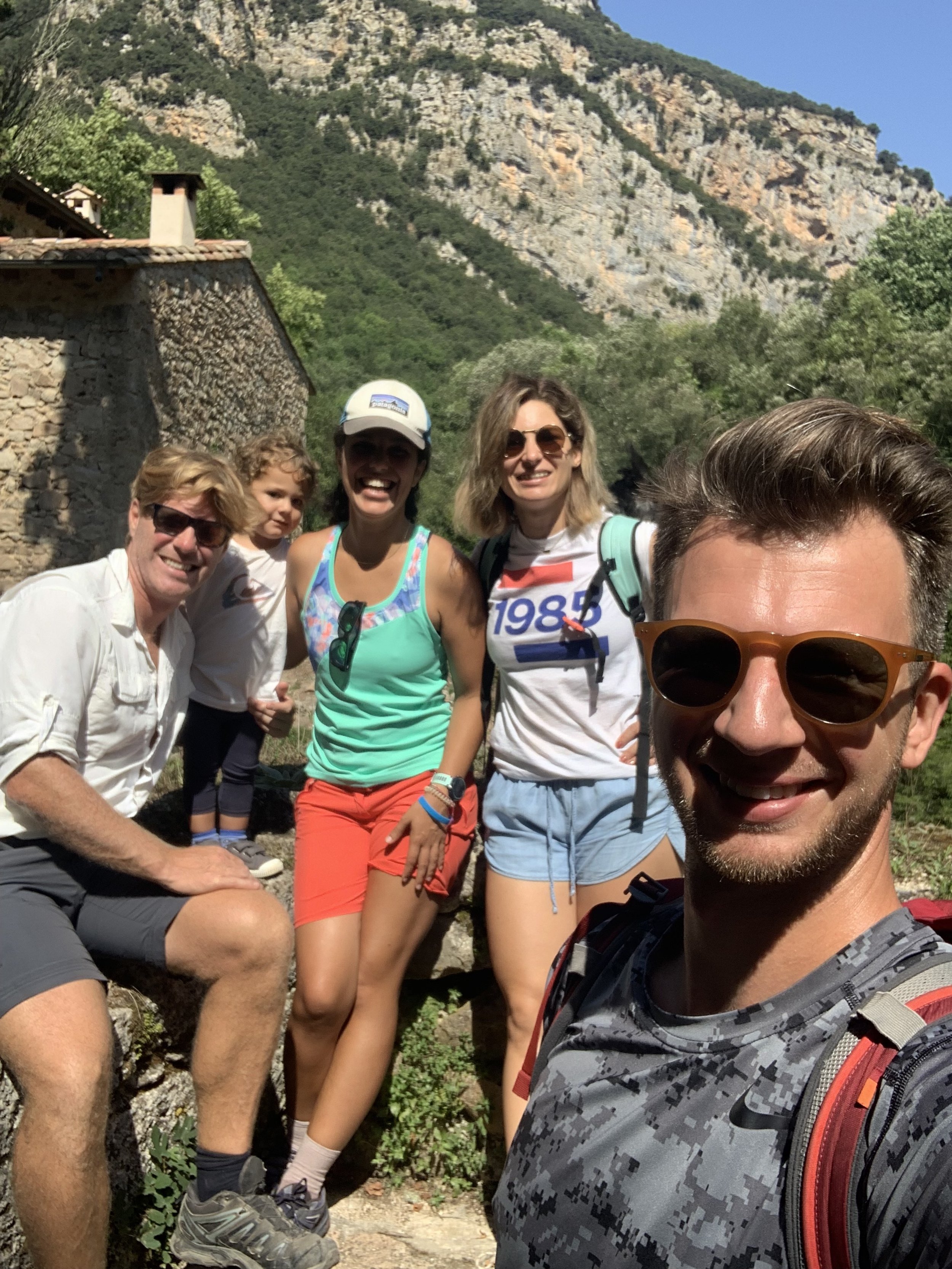
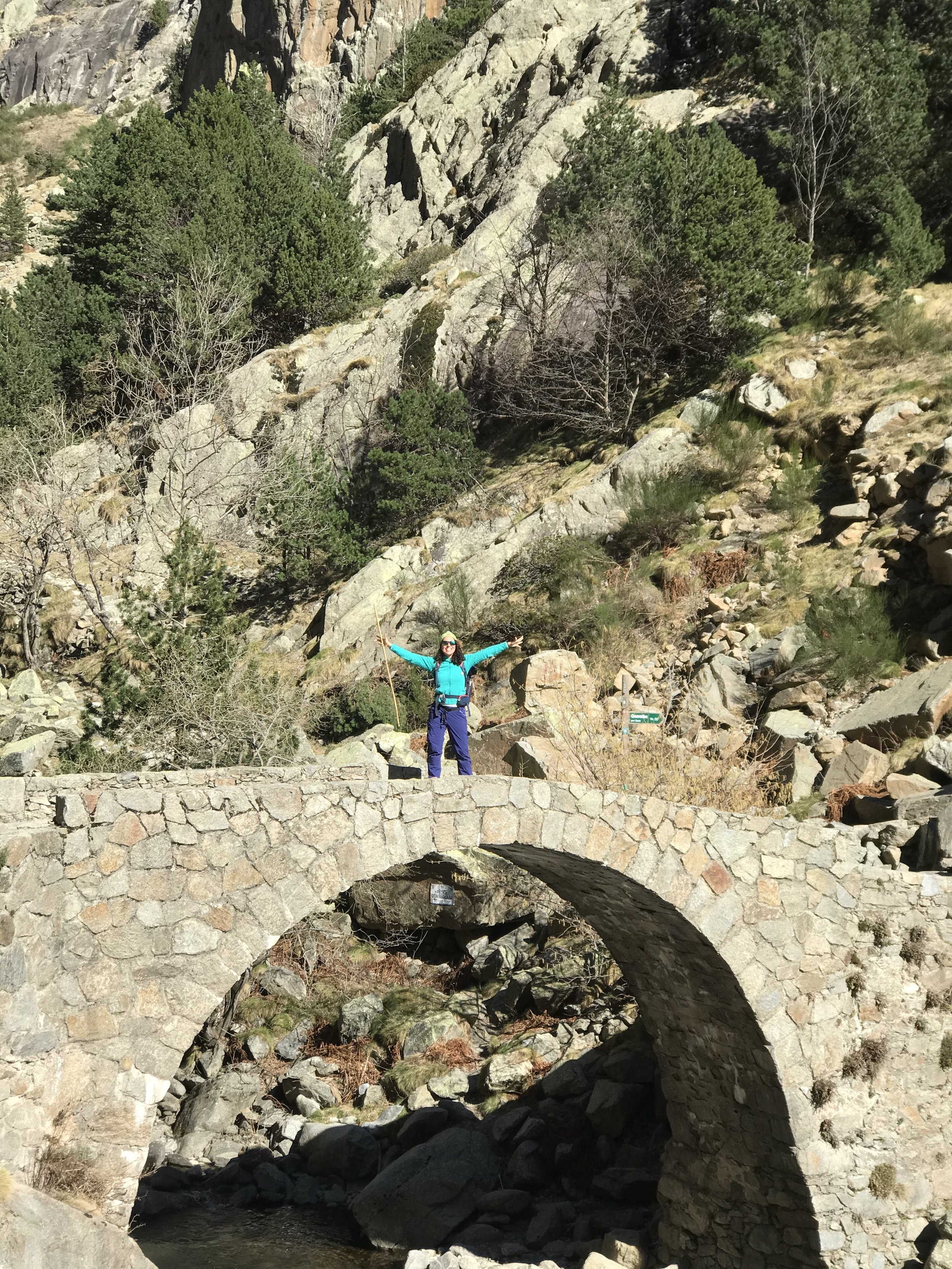
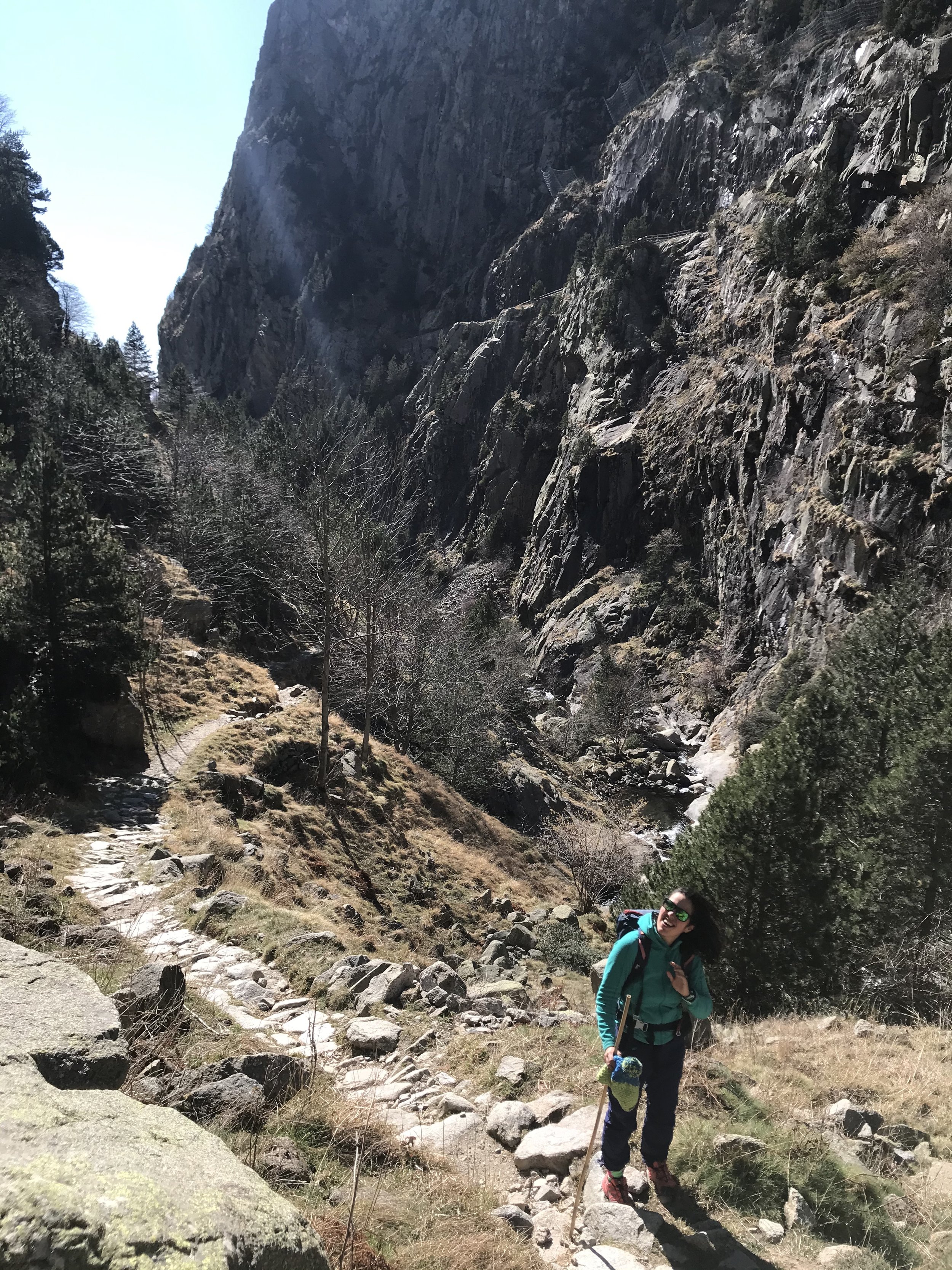
We parked at Sadernes next to the popular hostel-restuarant, a campsite and a Romanesque Church devoted to Saint Cecilia. The first few km you will pass a series of parking spaces and follow the stream of Sant Aniol until you reach the Bridge of Valenti and Hostal de Ca la Bruta. Following the river you will see signs for Sant Aniol d’guja and yellow markers on rocks. Following these markers you will pass the reservoir of El Gomarell, where the track begins to narrow and you will pass through a spectacular section inside the gorge for approximately 30min. This section can be slippery so please be careful and take your time. About halfway along we will then come to a hanging bridge crossing the river and on the other side we will see Sant Aniol d’Aguja which is an old Hermitage dating back to the 11th Century also they are renovating a walkers refuge. Worse case an accident happens when you’re out hiking, there is a SOS button on the outside of the Refuge, which is directly linked to the Bombers who are the mountain rescue.
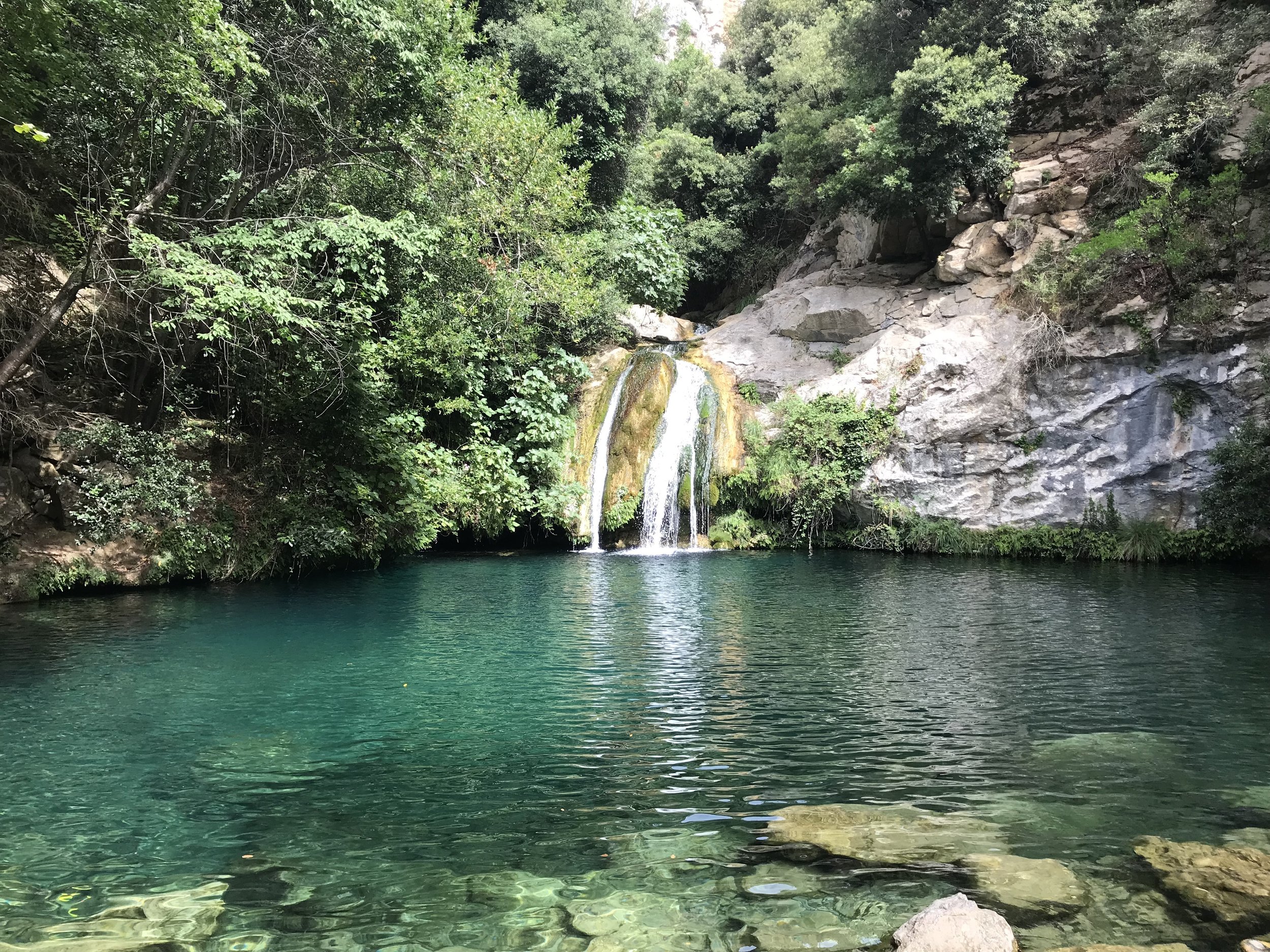
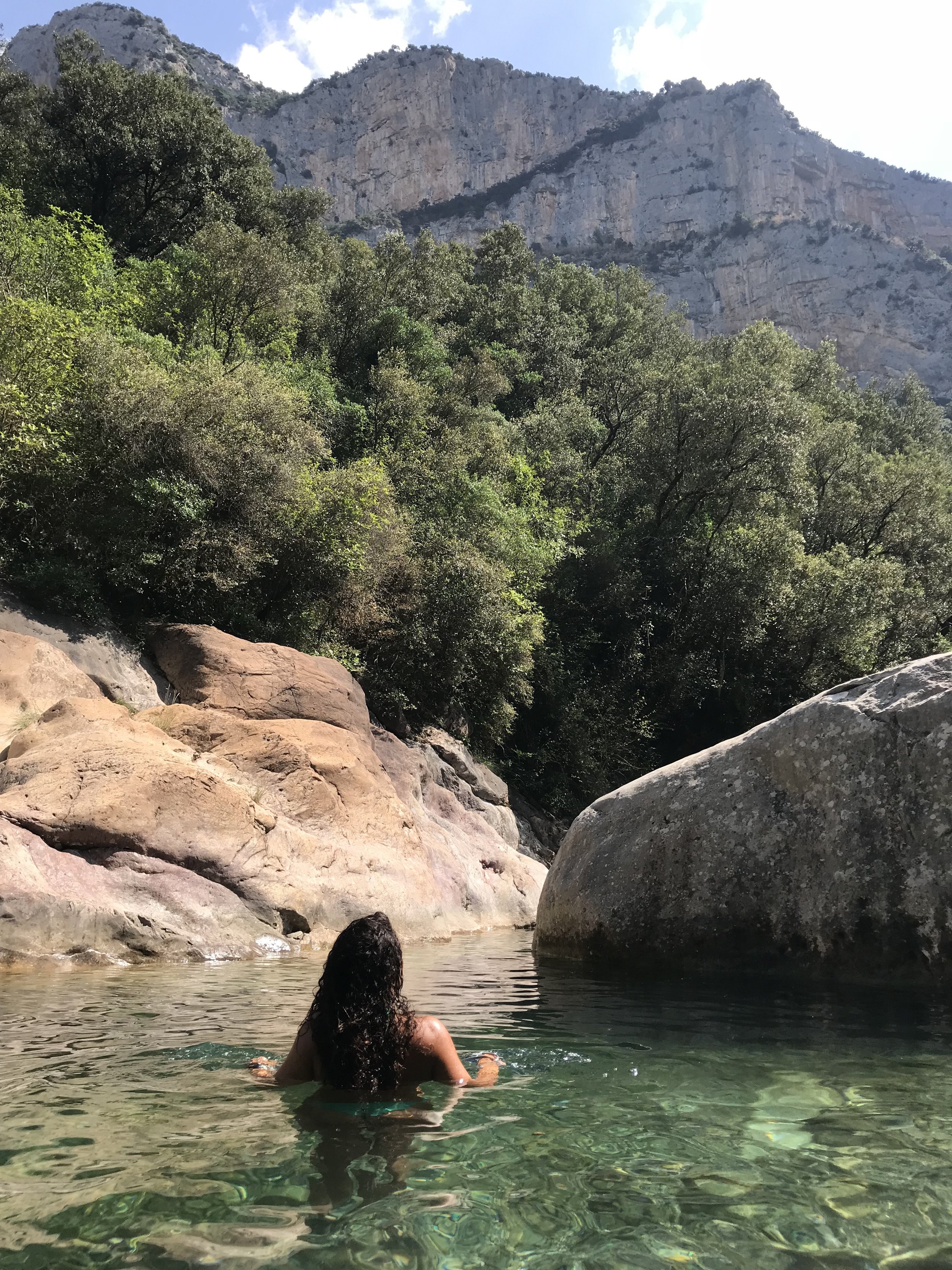
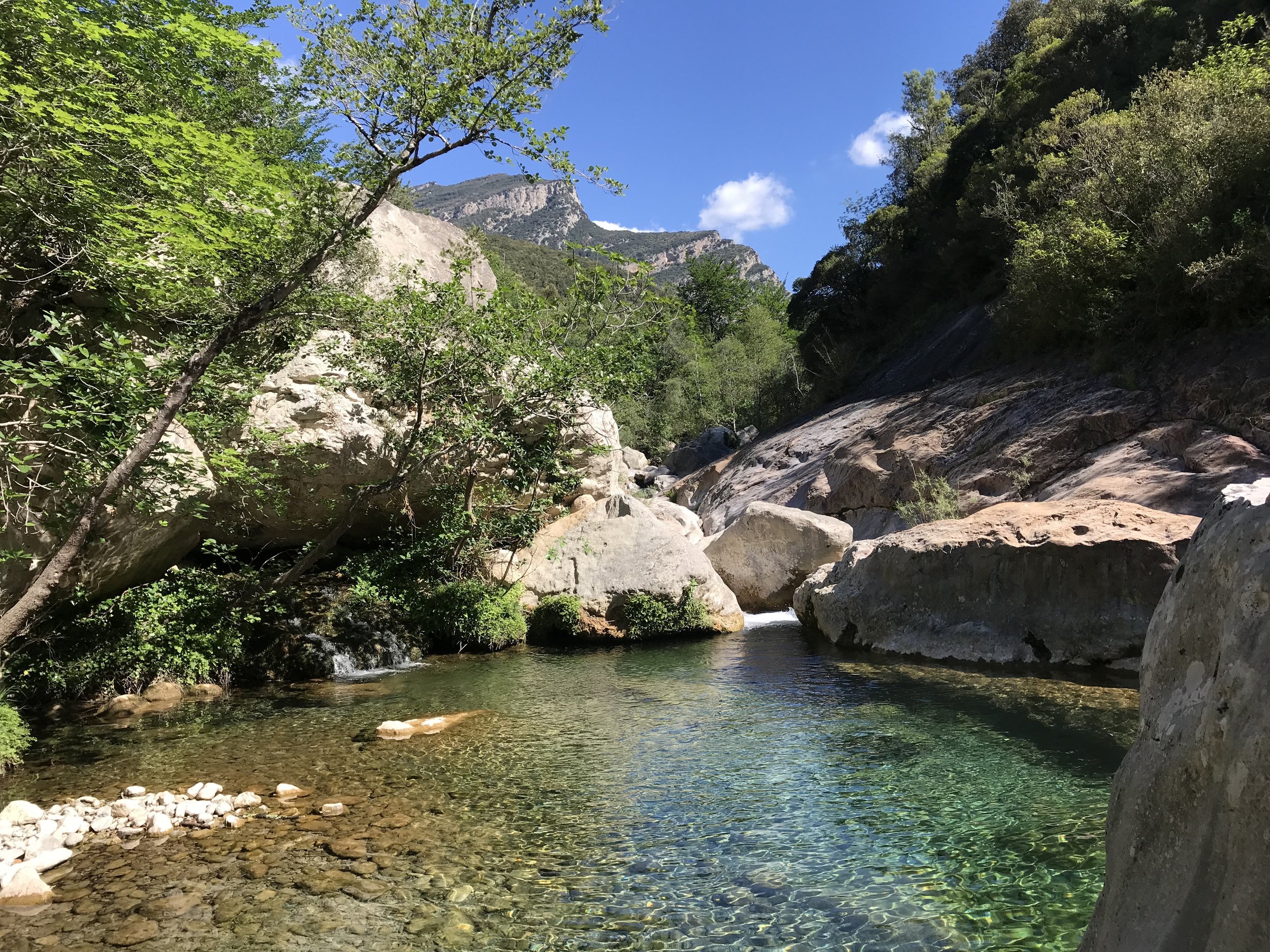
From Sant Aniol d’Aguja passing behind a popular fountain it’s a 10min walk to Gorge Blau which is the first waterfall that you come to or you can hike a little further by traversing up above the main waterfall and onto Salt del Brull. In my opinion the the first waterfall Gorge Blau is my favourite as in the summer months the water level at Salt del Brull can be low and not as pretty. Nevertheless from September to May, would recommend you visit.
We return back passing Sant Aniol d’Aguja now following the famous GR11 which which is marked with red and white stripes. This routes heads towards the old village of Talaixa where you will have some magnificent views if the Sant Aniol Valley. This pass is called the Portell de la Guilla where there is a series of small descents and climbs until you reach a natural balcony called Salt de La Nuvia. Shortly after here you have an option to descend back to the main trail at the gorge, but please note that it’s a steep path and the rocks can be slippery if you don’t have proper good hiking shoes. But otherwise we continue on the GR11 passing through an old settlement called La Quera and through the pass of Col de Talaixa. Talaixa and old village dates back to 872 where it still had 139 inhabitants until 1918. Talaixa is a mountain refuge where it is possible to sleep for the night on one section of the refuge. There’s a section of the refuge that doesn’t require booking with a bunkbed and an area for a roll matt. Also it’s possible to book the main section of the refuge for large groups where they have better facilities inside with more bunkbeds, mobile phone charging, fire etc.
From Talaixa we leave the GR11 and then follow the green and orange marks, which descends backs down towards the bridge of Valenti, following twisting trails until we reach the same trail that we started, crossing the bridge of valenti again and back along the main gravel track for 2.5km until we get back to the parking at Sadernes.
3. The olla de nuria
The Sanctuary of Nuria is definitely situated in the most dramatic position at 1970m in elevation, it is the base to the high mountains and is surrounded by an incredible hiking circuit, with lots of options to cut short, to suit all abilities.
The route starts at the Sanctuary of Nuria by taking the rack train from either the villages of Ribes de Freser or Queralbs. The first part of the hike is to tackle the highest peak in the Girona Province Puigmal (2910m), before continuing along the Olla de Nuria. It is very important to state that to do the whole Olla de Nuria circuit, requires a lot of fitness, where you will ascend over 2000m in elevation over 15 peaks. We cut the route short until the Coll d’Eina and returning to the Sanctuary from there. This reduced the hike to 15km with 1307m in elevation gain. Please remember when you’re hiking the high mountains with peaks at nearly 3000m, the weather can change quickly, so it’s important you have adequate experience and fitness.
From the Sanctuary the route starts next to the camping area and immediately you’ll tackle a steep diagonal slope next to the stream of La Coma de I’Embut. From here the path narrows for a few moments until it eventually opens up into an incredible high mountain setting. To finish the ascend to Puigmal you have to hike over a steep slope and between large rocks, until eventually getting to the peak of Puigmal. It is from here you’ll begin the series of peaks and passes, with the valley of France to the north. You’ll begin to climb Pic Petit de Segre (2812m), then Pic del Segre (2848m), and then descending to Coll de Finiestrelles (2604m). It is here where there’s an option to descend back to the Sanctuary of Nuria if you wanted. Carrying on we then tackled a hard climb to the Pic of Finestrelles (2829m) and then a a more gentle one to the Pic de Nuria (2684m) or also called the Coll d’Eina. It is here we decided to descend and return to the Sanctuary.
4. the GORGES OF NURIA
The hike from the village of Queralbs to the Sanctuary of Nuria is one of the most famous routes in the area and we managed to this in February. There is lots of hiking options to consider depending on fitness levels, where you can hike only to Nuria or you can make it a multi day hike of three days. First, hike from Queralbs to the Sanctuary of Nuria along the gorges of Nuria: second along the gorges or Freser and third the descent following the river of Freser. Sleeping in Nuria for one night, then the Refuge of Como de Vaca on the second night.
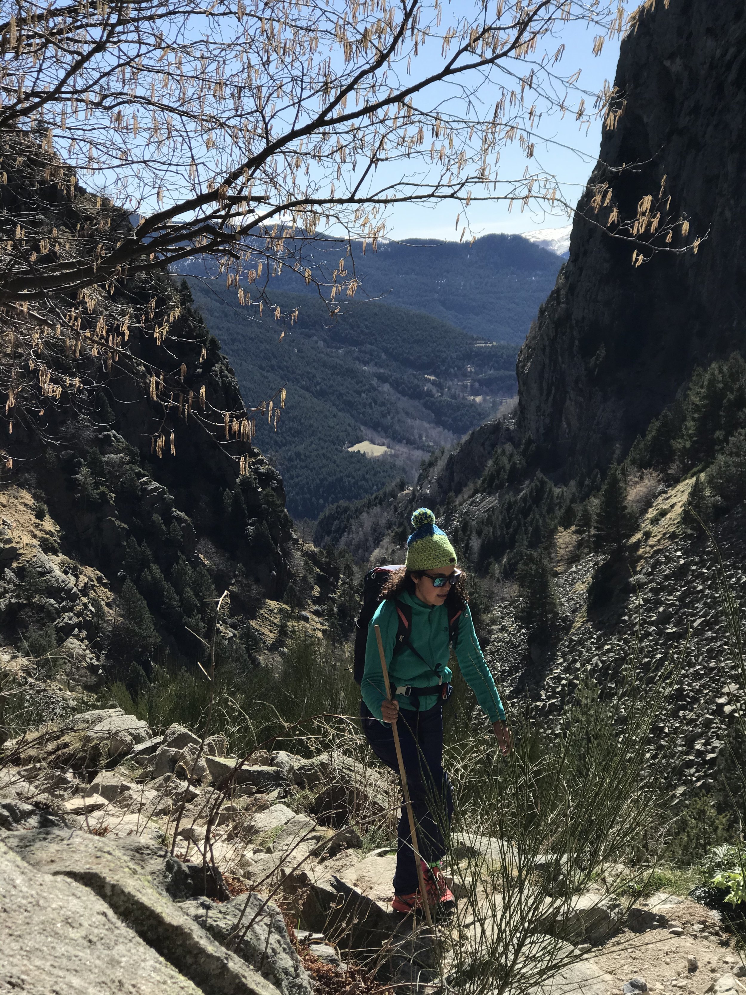
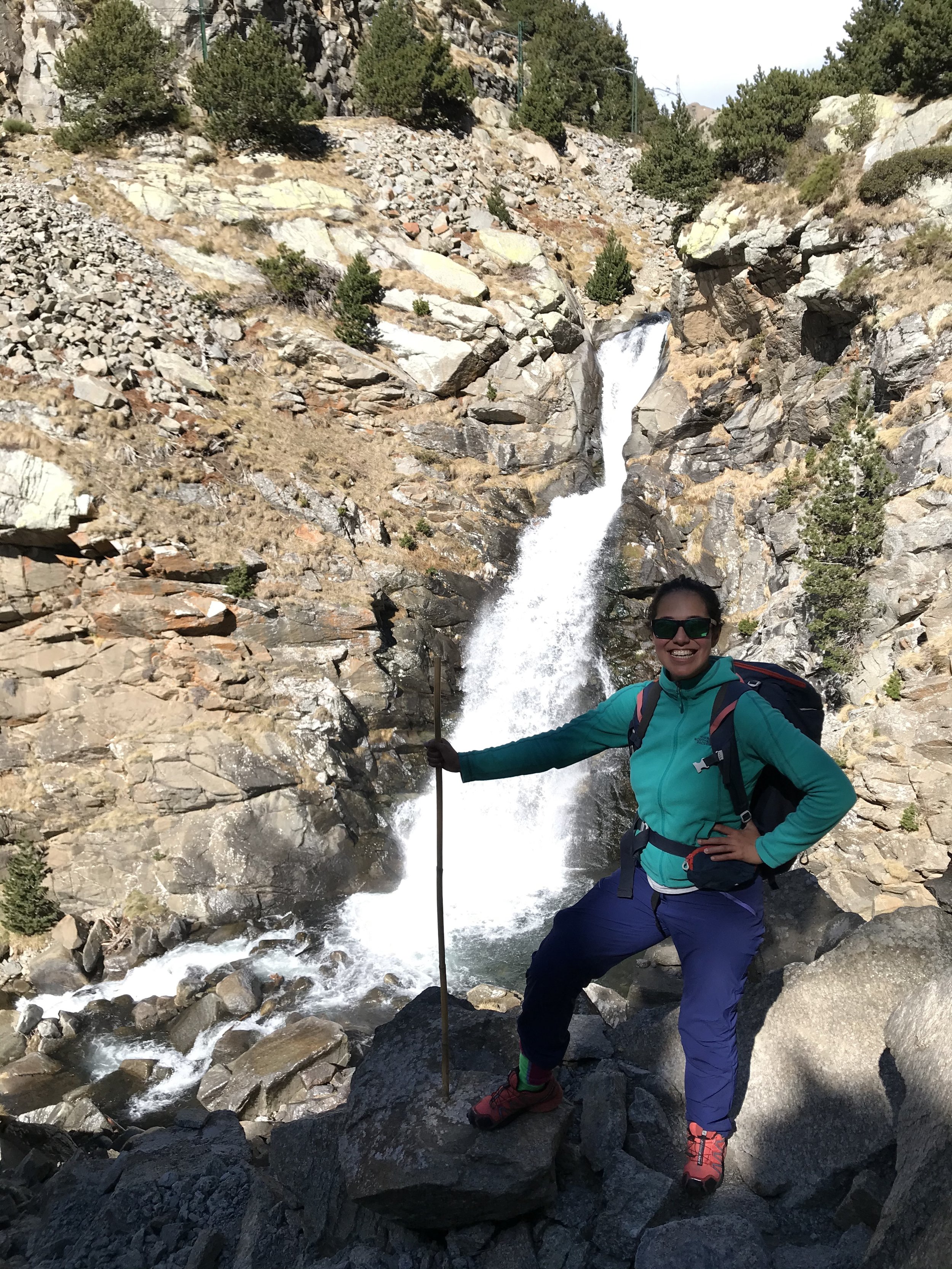
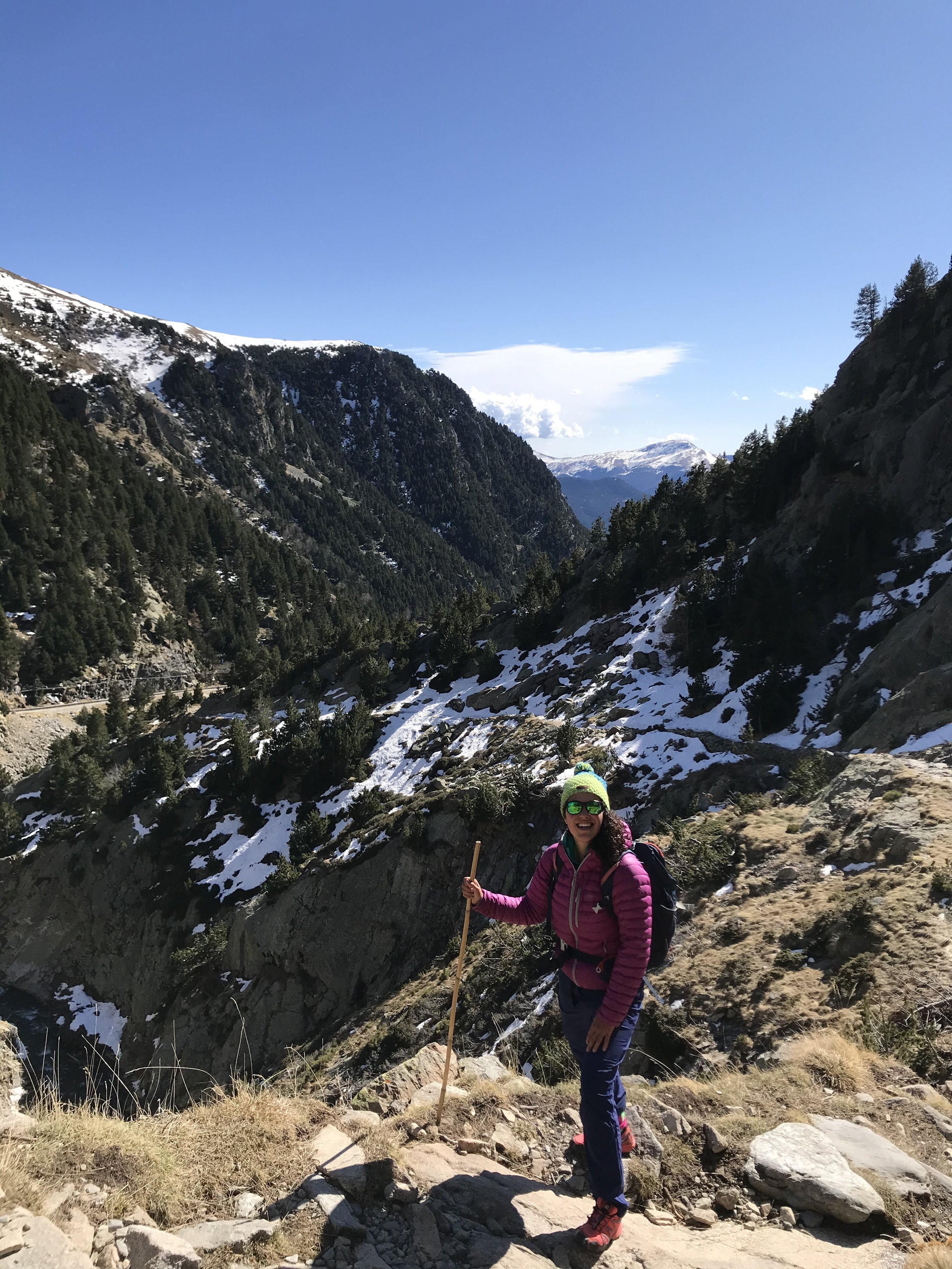
We hiked from the village of Queralbs having booked a place to sleep the night before. It’s a small village and the start of the hike is very clear with red and white markers, sign posted to the Sanctuary of Nuria. It is also part of the GR11 which is a long distance trail from the Atlantic to the Mediterranean. This trail follows the route of the river Nuria and is has very historical routes having been used for centuries by shepherds and hermits. The gorges of Nuria has some impressive spots that make the trail a great fun route to take. These include the large walls of Roques de Totlomon, the view from Salt del Sastre and the waterfall of the Cua de Cavall at 1770.
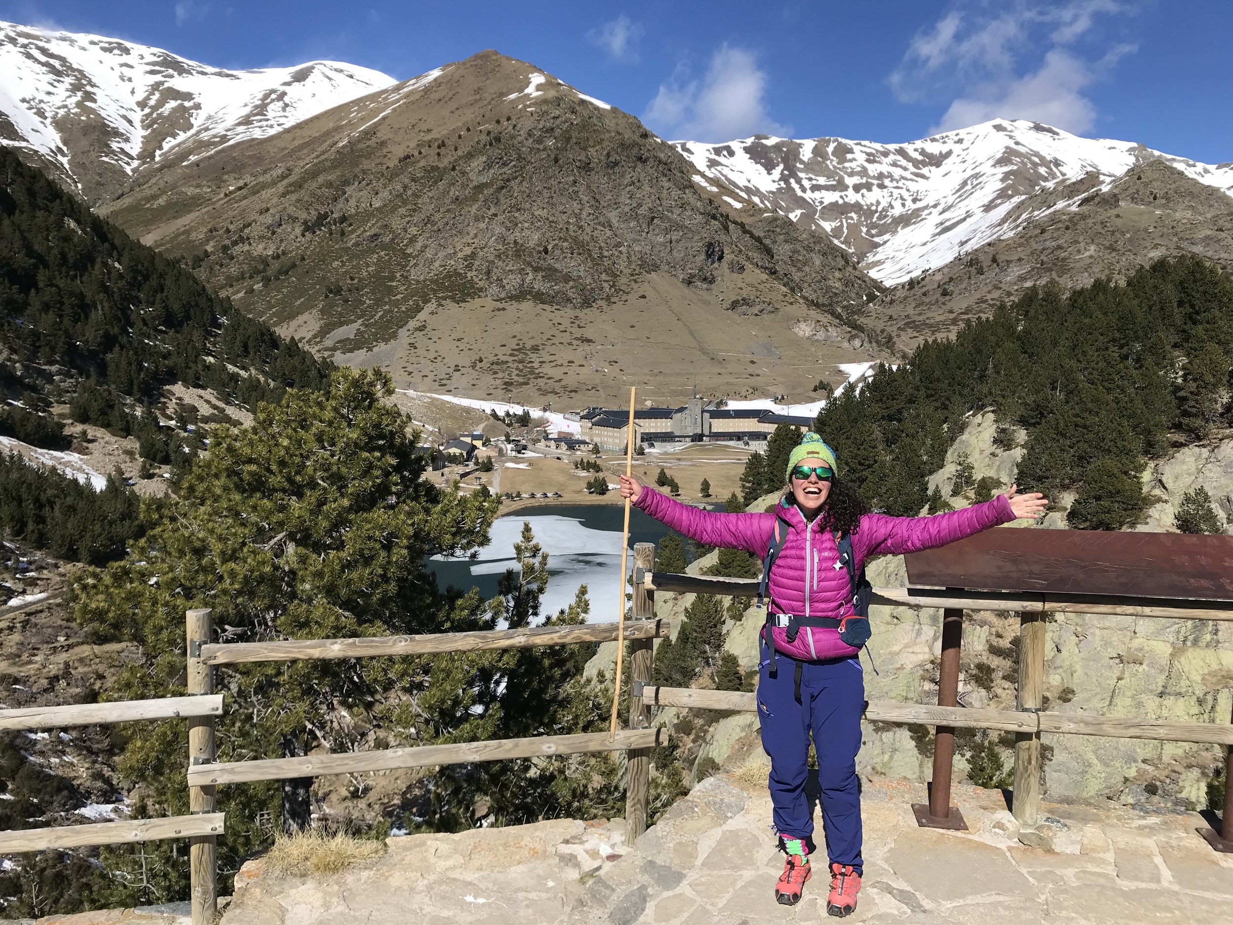
When reaching the sanctuary there’s lots to do, from relaxing on the large grassy area or enjoying the large artificial lake that was constructed in 1956. The sanctuary is ultimately a big tourist hotspot like so many that have access with a funicular railway, where you can ski in the winter and there’s a hotel with restaurant with all the facilities you need for a comfortable visit. When we visited the Sanctuary we decided to start from Queralbs and on return we took the funicular back down the mountain. It’s also possible to do the hike the opposite way depending on preference. The beauty of visiting the Sanctuary of Nuria is that it is positioned in the high mountains at 1970m in elevation. There’s lots of hiking and some incredible peaks and passes that can be done. There’s a well known circular route that can be done with peaks close to 3000m and surrounds the sanctuary. This is called the Olla de Nuria or Pot and tackles one of the highest mountains in the Girona province, Puigmal (2910m).
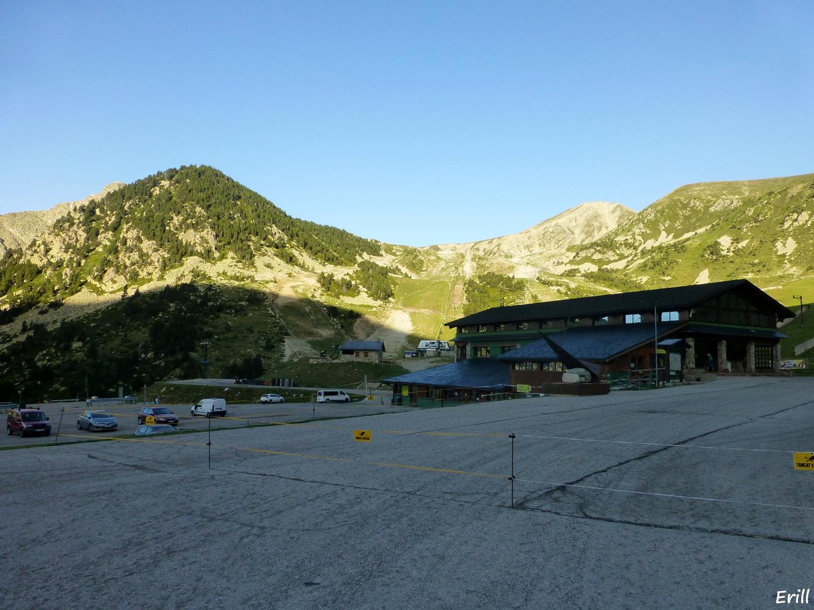
5. The cirque of ulldeter
One of my favourite routes, starting from the Vallter 2000 ski resort, you have the chance to to hike some high mountain peaks including Bastiments at 2883m. A great half day hike discovering the Camprodon Valley.
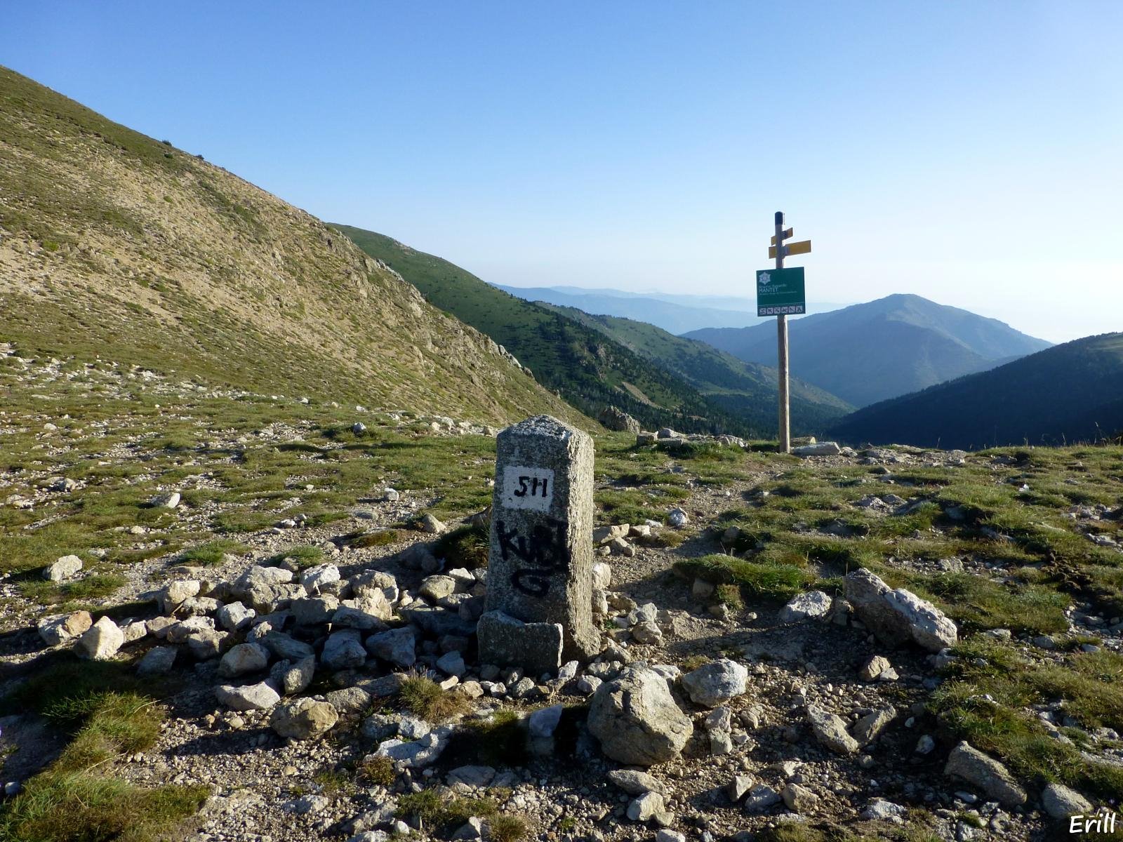
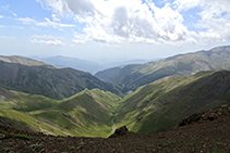
You start the hike from the carpark of the Vallter 2000 ski resort (2150m) and do it anti-clockwise following the signs next to the main restaurant building along a stream. Following a noticeable trail to the Portella de Mentet, a crossroads and then follow the trail towards the village de Mentet . It’s from here we take the path to the left that climbs gently up to the summit of La Dona (2704m), where you have incredible views of the valley of Mendet and the Valley of Bacivers.
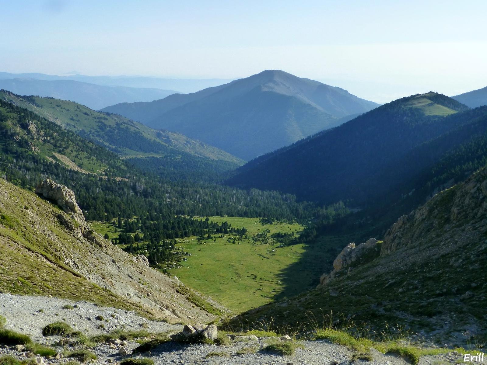
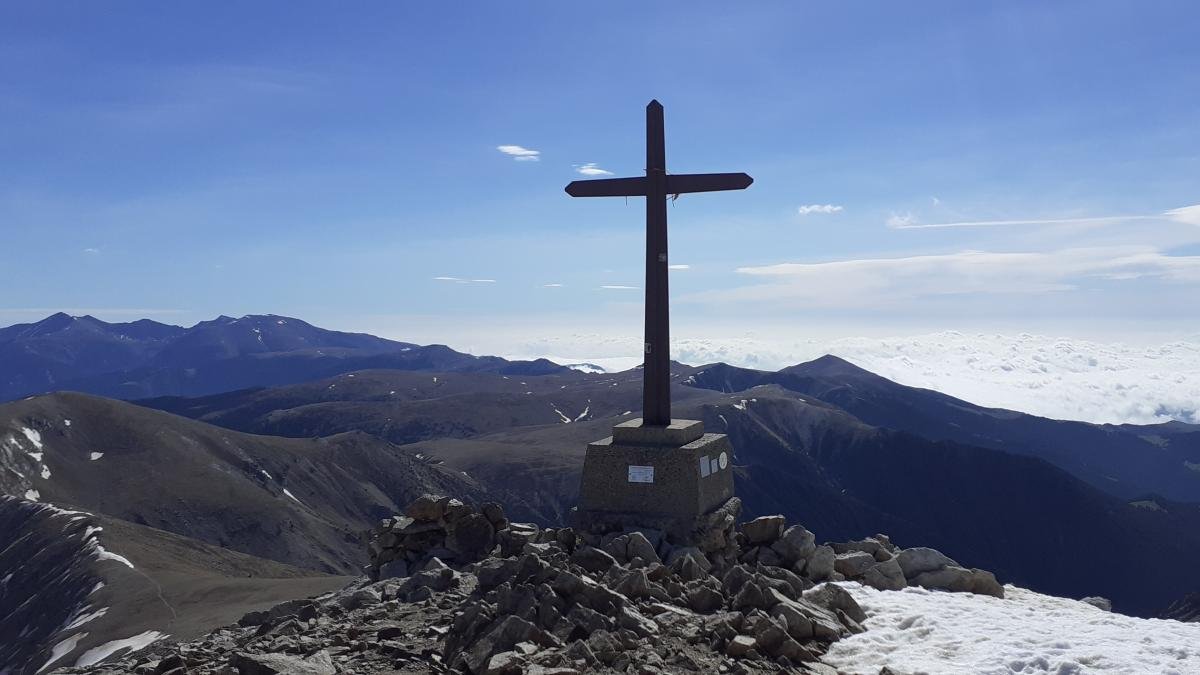
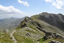
Continuing the trail becomes more gentle passing over several knolls to the Coll de la Geganta. It’s from here we start the hardest section of the trail with steep ground and slippery rocks, finishing at the Pic de Bastiments (2883m). You’ll have some stunning views of the whole valley of the Freser. To descend continue onto the Coll de Marrana which eventually connects to the GR11 from the Sanctuary of Nuria and further onto the the Refuge of Ulldeter. You’ll then come to a flat area with water spring marks that marks the start of the river Ter. You’ll see various ski slopes around and you’ll have two options. You can either take the path to the right that leads directly to the carpark of the Vallter 2000 ski resort or I would recommend continueing along the GR11, passing directly to the door of the refuge of Ulldeter. The refuge dates back to 1909. You continue downhill until you reach the road to Vallter 2000 ski resort, going to the left of the river Ter and coming out at a large bend. From here it’s a small ascend back to the car park.