

Best Hiking Trails Near Girona, Catalonia
A two-hour roundtrip trek will bring you out of town and through a variety of interesting places. It cuts across the Sant Daniel Valley, passing past woodlands, tiny farms, and country churches. Hike inside the Gavarres protected natural area to ascend the Sant Miquel summit, ending at the ruined castle and beautiful Costa Brava vistas.
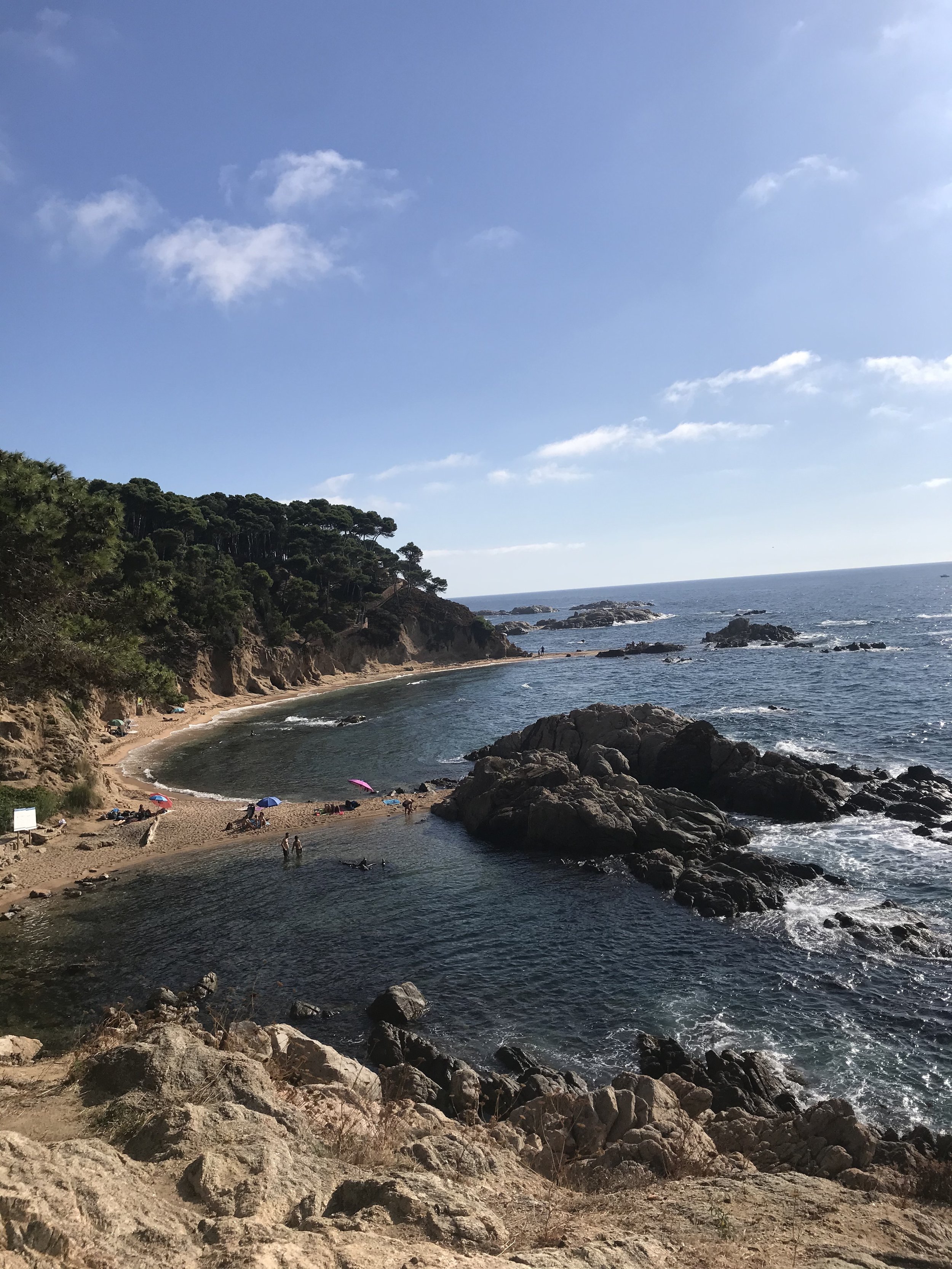
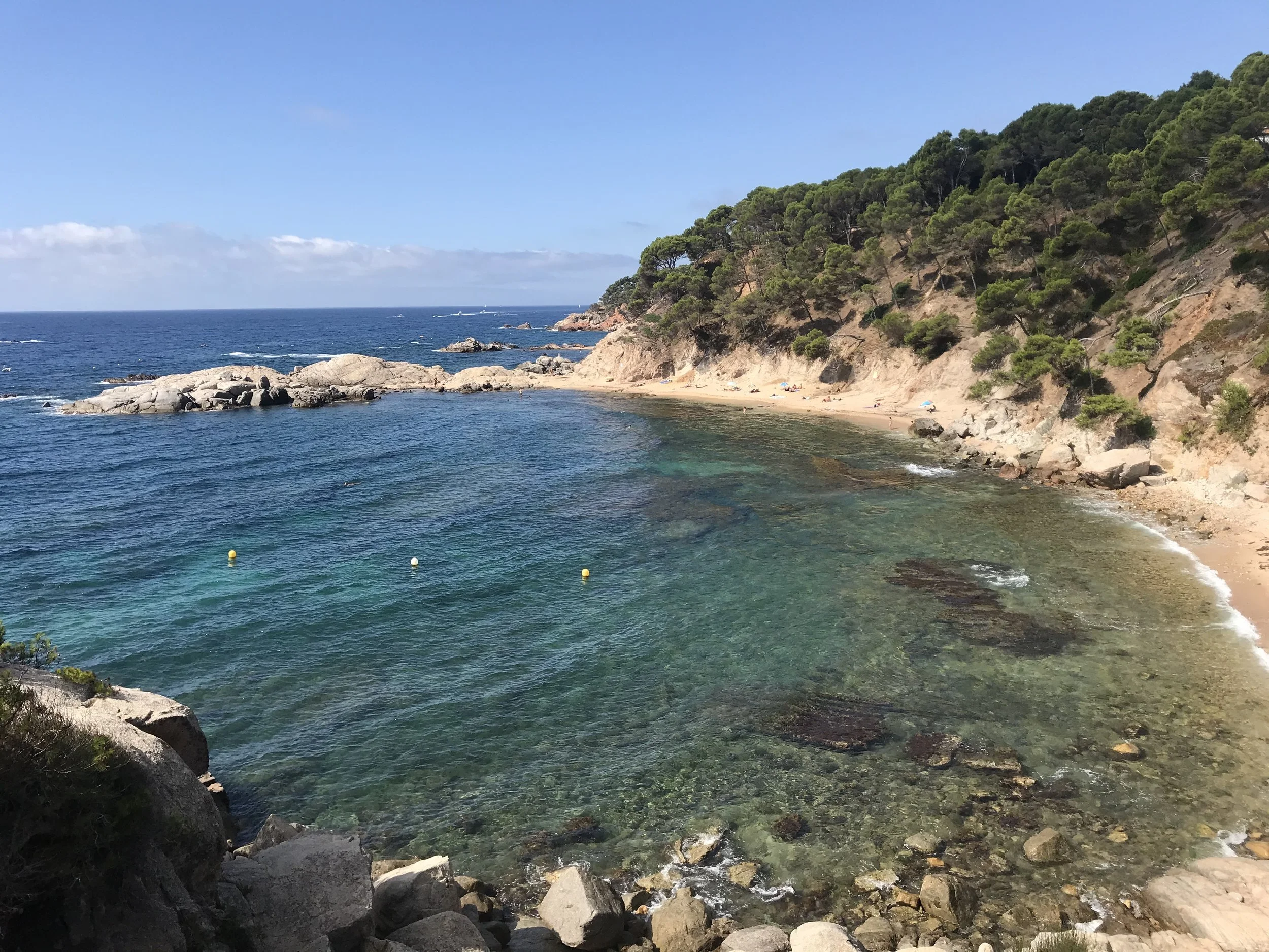
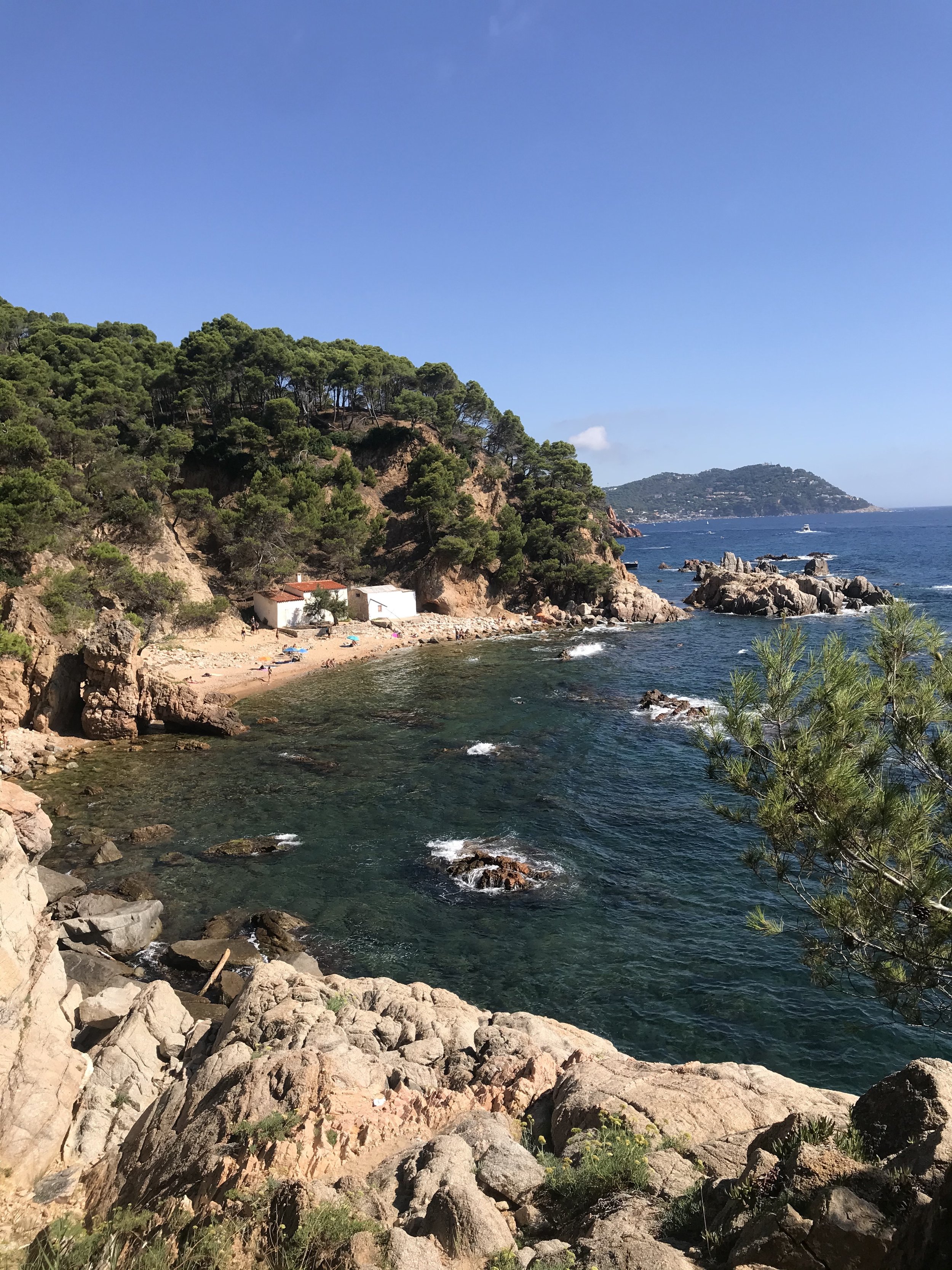
If you wish to stay close to the shore, the Cami de Ronda stretches from Blanes up the Costa Brava to Portbou on the French border. The Cam de Ronda is made up of more than 200 kilometers of coastal routes that date back to the eighteenth century and were initially used to keep an eye out for smugglers.
The roads were utilised by the Guardia Civil as late as the Franco regime when food, tools, and cigarettes were in limited supply following the civil war. These roads fell out of usage after the 1950s. As a result, certain areas became overgrown and inaccessible. Other portions, on the other hand, have been well-kept. You'll occasionally walk on paving, and other times you'll have a railing and lighting.
However, while they are no longer as harsh as they once were, these meandering coastal trails often change elevation and are exceedingly small in spots - not advised if you are afraid of heights. There are clifftop areas, beach sections, stone steps, and little more than dirt pathways.
Although you could walk the whole Costa Brava coast in ten days to a fortnight, most tourists will only walk shorter parts. In general, the trails are clearly defined, so you shouldn't have too much trouble finding your way, no matter how long or short your planned stroll is. Overall, the route is adequately defined, but it's a good idea to have a smartphone with Google Maps, a GPS – or simply a map!
Don't rely exclusively on Google Maps because it doesn't cover much of the Cam de Ronda. If you get lost, utilize the app. It's unlikely, but it's not impossible! However, keep in mind that following the pathways along the curving cliffs might easily double the length of the trek.
You could spend a month trekking in the Girona Pyrenees, covering an incredible part of the GR1 long distance trail that spans northern Spain. The full length of the walk is 1250 kilometers, but we just trekked the first 150 kilometers, which is through the province of Girona.
Hiking near Girona, Spain part of the GR1 covers the first (or last, depending on how you look at it) 150 kilometers of the path, which begins in Empuries in Costa Brava and ends in Ripoll in the Pyrenees. The trek may be completed in 8-10 days and passes through a variety of landscapes and historical sites.
In ancient times, the network of paths leading to Santiago de Compostela passed through Girona province on its way to the Montserrat Abbey, one of the pilgrimage's traditional 'departure places.' The Girona part of the path begins at either the San Pere de Rodes Monastery or the French border at La Jonquera and takes three days to reach Girona, from where it's another week through the Pyrenees to Montserrat - and much, much longer to Santiago. The Girona branch of the Camino de Santiago has the advantage of being one of the least used by hikers, making it perfect for experiencing the scenery and spiritual ambiance of this famed pilgrimage road.
Best Hikes Costa Brava
If you prefer the Costa Brava to the Pyrenees, you may trek the Cami de Ronda, a 200-kilometer-long coastal trail created to control the coast and prevent smuggling. The trail connects Blanes to Portbou on the French border and takes roughly two/three weeks to complete, passing through coastal communities and enjoying cliff-top pathways as well as relaxing time on secluded beaches.
The 'Walk of Good Men,' which retraces the migratory routes of the Cathars who fled to France to escape religious persecution between the 12th and 14th centuries, is another fantastic trek nearby (though it is not totally in the Girona Pyrenees). The trail begins in Berga and travels north through the Cad-Moixero National Park to the French border at Puigcerdà, then continues into the French Pyrenees to Montsegur. If you want to go on a single-day hike in beautiful settings, the Aiguestortes National Park in the province of Lleida is the place to go.
When To Plan Your Hike
The national parks span heights ranging from 1500 to 2000 meters - the ideal times to trek are in the summer and fall since snow can remain all the way into spring. Espot is the greatest entrance point — for more information about Aiguestortes, see this article on our visit. Alta Garrotxa, a volcanic region in the Pyrenees foothills, is another excellent hiking destination near Girona. The La Garrotxa Volcanic Zone Natural Park covers the following areas:
The La Garrotxa Volcanic Zone Natural Park contains 40 volcanic cones that may be explored via a network of hiking routes. Autumn and spring are ideal times to trek in the Girona Pyrenees and to tour the entire Costa Brava/Pyrenees region. Of course, predicting weather forecasts is becoming increasingly difficult, but generally speaking, April/May and September/October are perfect since the weather is mostly dry and bright, and there aren't many visitors around.
Summer months provide bright and reliable weather as well, but temperatures are too hot to trek comfortably — you'll need to carry your body weight in water because water sources aren't always available along the journey. Not to add that hotel rooms are frequently completely occupied.
After a hard day on the trails, you don't want to be stuck without anywhere to sleep. Winter, on the other hand, can be damp and frigid, with snow and ice possible at higher elevations. You can trek the entire month of October, and the weather will be perfect, with temperatures varying between 18 and 25 degrees during the day at the start of the month, and between 15 and 22 degrees at the end.